What Are the Land Details and Built-Up Area Details for Godrej Epoque?
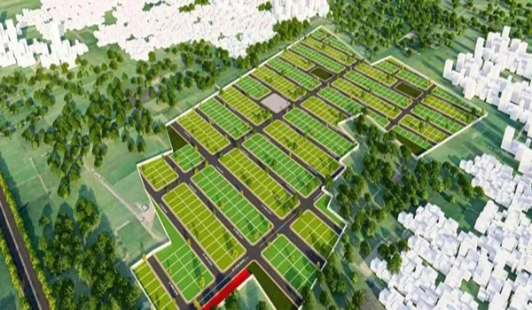
Featured Image of What Are the Land Details and Built-Up Area Details for Godrej Epoque?


Godrej Epoque stands on Plot No. 16 in Survey Nos. 239 and 240 at Neopolis Layout, Kokapet. Its Telangana RERA filing records a total land area of 20,351.89 sq m, or about 5.03 acres. The net site area is the same. The filing shows 0 sq m affected by road widening, a tank’s full tank level (FTL) or nala widening.

The approved built-up area is 248,207.09 sq m, equal to about 26.72 lakh sq ft. This is the approved building area across the project, not the size of the land or the area available inside its apartments. The filing also records 24,825.80 sq m as mortgage area, which is about 10% of the approved built-up area.
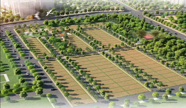
Godrej Epoque Land and Built-Up Area Details


Detail Figure in the Project Filing
Plot number 16
Survey numbers 239 and 240
Total land area 20,351.89 sq m — about 5.03 acres
Land affected by road, FTL or nala widening 0 sq m
Net land area 20,351.89 sq m
Approved built-up area 248,207.09 sq m — about 26.72 lakh sq ft
Mortgage area 24,825.80 sq m — about 2.67 lakh sq ft
Buildings in the approved plan Two residential towers and one clubhouse

The land is in Gandipet mandal, Ranga Reddy district, within the Neopolis Layout at Kokapet, Hyderabad 500075. Godrej Properties Limited is named as the promoter.

Where Is the Godrej Epoque Land Located?


The Godrej Epoque site is identified by both its plot number and survey numbers. Plot No. 16 gives its position in the Neopolis Layout, while Survey Nos. 239 and 240 identify the land in the project filing. These details are more specific than a general Kokapet address and help identify the approved project site.

A 45-metre-wide road forms the eastern boundary of the plot. Plot No. 20 is to the west, Plot No. 15 is to the north and Plot No. 17 is to the south. The boundary description identifies the land covered by the filing; it does not, on its own, mark the position of the project’s vehicle entrance.

Is Any Godrej Epoque Land Affected by Road Widening?


The filing records zero area affected under its combined entry for road widening, tank FTL and nala widening. That is why the total site area and net site area are both 20,351.89 sq m. No reduction appears in this land-area entry.

The plot’s eastern boundary still faces a 45-metre-wide road. The road boundary and the road-widening entry describe different things: one tells you what lies beside the plot, while the other records whether any part of the plot is shown as affected.

What Does Godrej Epoque’s Approved Built-Up Area Mean?


Godrej Epoque’s approved built-up area of 248,207.09 sq m refers to the building area recorded for the development. It is much larger than the 20,351.89 sq m land area because the project has high-rise towers with many floors. The two figures should not be used in place of each other.

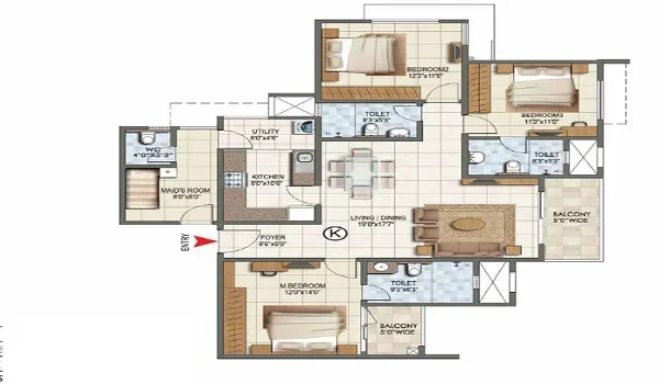
The approved plan lists three building units: Tower 1, Tower 2 and the clubhouse. The residential towers contain 1,018 apartments in total. A buyer looking for the size of a particular 3 or 4 BHK home should check that unit’s floor plan and area statement, rather than the project-wide built-up figure.

What Is the Godrej Epoque Mortgage Area?


The filing lists 24,825.80 sq m under “Mortgage Area.” That is about 10% of the approved built-up area. It is an area figure in the building approval details; it does not mean that 10% of the 5.03-acre plot has been removed from the project.
The figure alone does not identify which apartments or other spaces fall within the mortgaged area. Those locations must be checked against the approved plans and mortgage documents for a specific unit. The filing includes a mortgage deed among its uploaded project documents.

How Is the Godrej Epoque Site Planned?


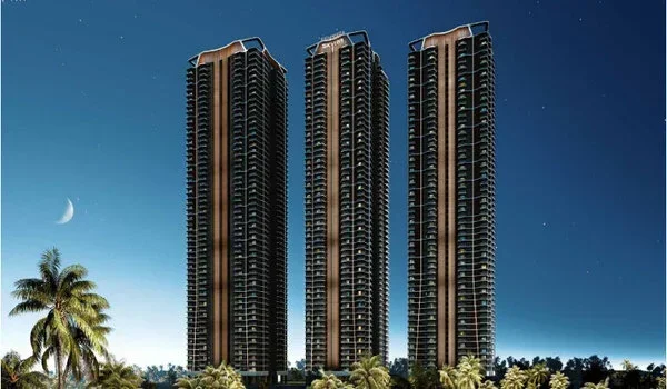
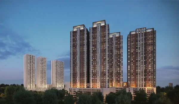
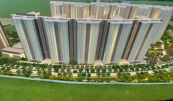
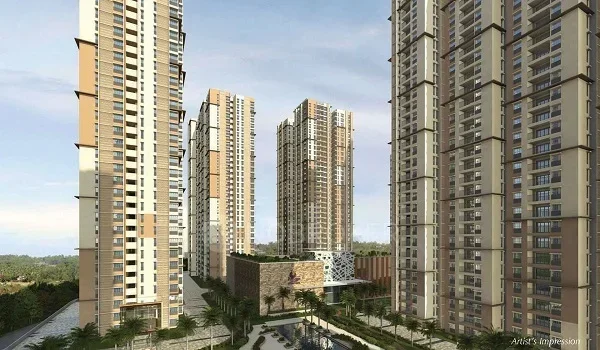
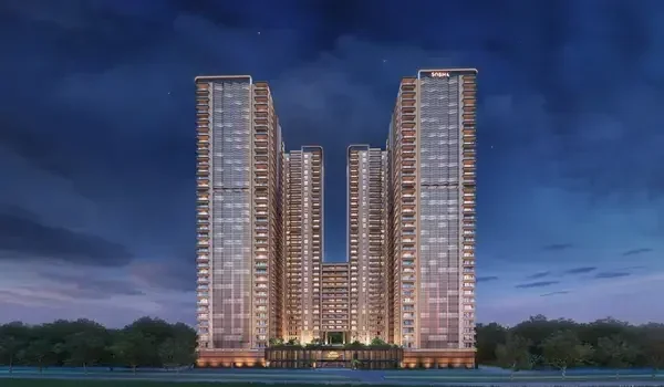
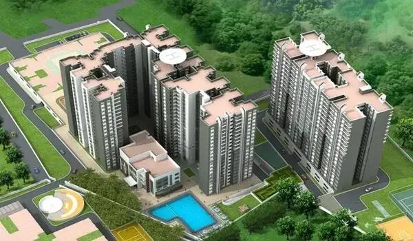
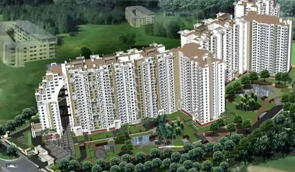
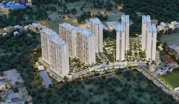
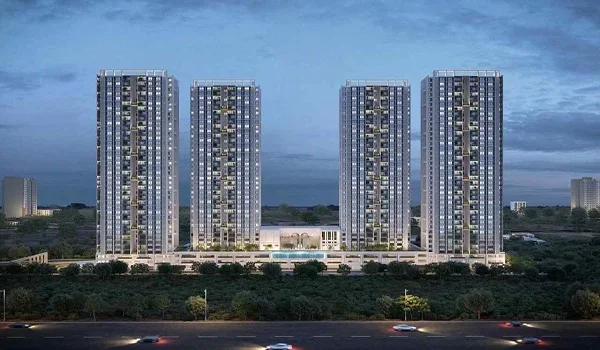
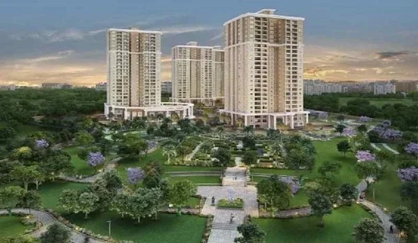
Godrej Epoque uses the 5.03-acre plot for two residential towers and a separate clubhouse building. The towers have five basement levels in the building schedule. The project filing also lists 1,488 covered parking spaces and no open parking area.

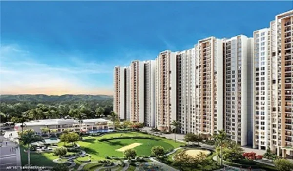
The project brief describes about 75% open space and a 25,000 sq ft clubhouse. Those figures describe the proposed site layout and amenities. They are separate from the RERA filing’s approved built-up area, which measures building space across the development.

FAQs


1. What is the land area of Godrej Epoque?

The total and net land area are both 20,351.89 sq m, or about 5.03 acres.

2. What are the Godrej Epoque survey numbers?

Godrej Epoque is on Survey Nos. 239 and 240, Plot No. 16, Neopolis Layout, Kokapet.

3. What is the approved built-up area of Godrej Epoque?

The approved built-up area is 248,207.09 sq m, or about 26.72 lakh sq ft.

4. What is the mortgage area shown for Godrej Epoque?

The project filing records 24,825.80 sq m as mortgage area, close to 10% of the approved built-up area.
5. Does road widening reduce the Godrej Epoque land area?

No area is shown as affected in the filing's road-widening, FTL and nala-widening entry. It records 0 sq m, leaving the net site area equal to the total site area.
6. How many buildings are planned on the land?

The approved plan lists three buildings: two apartment towers and one clubhouse building.

Godrej Epoque Blog


Enquiry
Enquire Now